Description
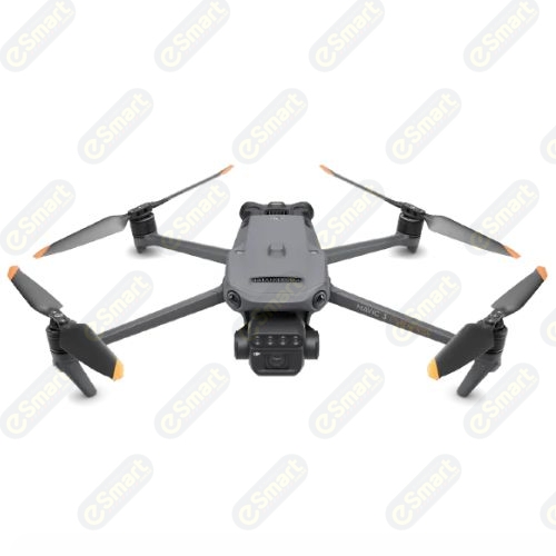
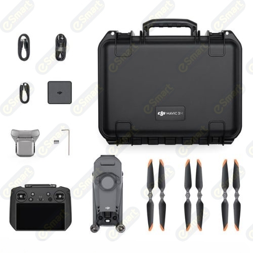
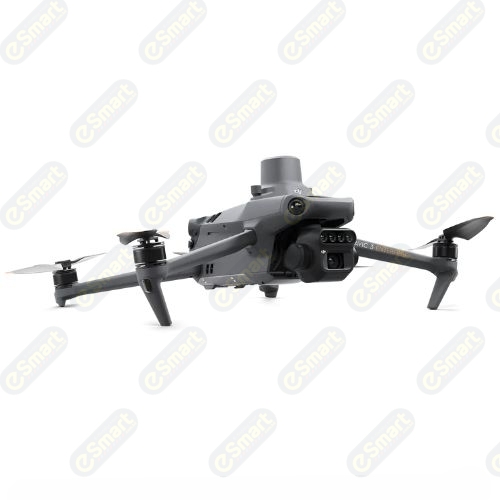
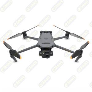
DJI Mavic 3M Drone: Advanced Imaging & Precision Mapping Solutions
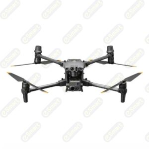
Experience unparalleled aerial capabilities with the DJI Mavic 3M, designed for professionals in mapping, surveying, and agricultural analysis. This powerful drone features a state-of-the-art 4/3 CMOS RGB camera and a multispectral camera, providing exceptional image quality and data accuracy. With advanced RTK positioning, a robust obstacle avoidance system, and extended flight time, the Mavic 3M is the ultimate tool for precise aerial data collection and analysis.
Product Specifications:
- Dimensions (Unfolded): 347.5 × 283 × 139.6 mm (LxWxH)
- Dimensions (Folded): 223 × 96.3 × 122.2 mm (LxWxH)
- Weight: 951 g (with propellers and RTK module)
- Max Flight Time: Up to 43 minutes
- Camera: 4/3 CMOS, 20 MP RGB; 1/2.8-inch CMOS, 5 MP multispectral
- Max Transmission Distance: 15 km (unobstructed)
- Operating Temperature: -10° to 40° C
- RTK Positioning Accuracy: Horizontal: 1 cm + 1 ppm; Vertical: 1.5 cm + 1 ppm
Product Features & Benefits:
- High-Resolution Imaging: Capture stunning 20 MP photos and 4K video with superior color accuracy and detail.
- Multispectral Capabilities: Monitor crop health and environmental changes with advanced multispectral imaging.
- RTK Precision: Achieve centimeter-level accuracy in your aerial surveys and mapping projects, enhancing your data reliability.
- Extended Flight Range: Fly up to 32 km with a max flight time of 43 minutes, allowing for extensive area coverage in a single flight.
- Robust Obstacle Avoidance: Navigate complex environments safely with omnidirectional sensing and intelligent obstacle avoidance features.
Unlock the potential of your aerial projects with the DJI Mavic 3M. Order yours today and elevate your imaging and mapping capabilities to new heights!



Reviews
There are no reviews yet.